
amelia island circumnavigation, fl
amelia island circumnavigation
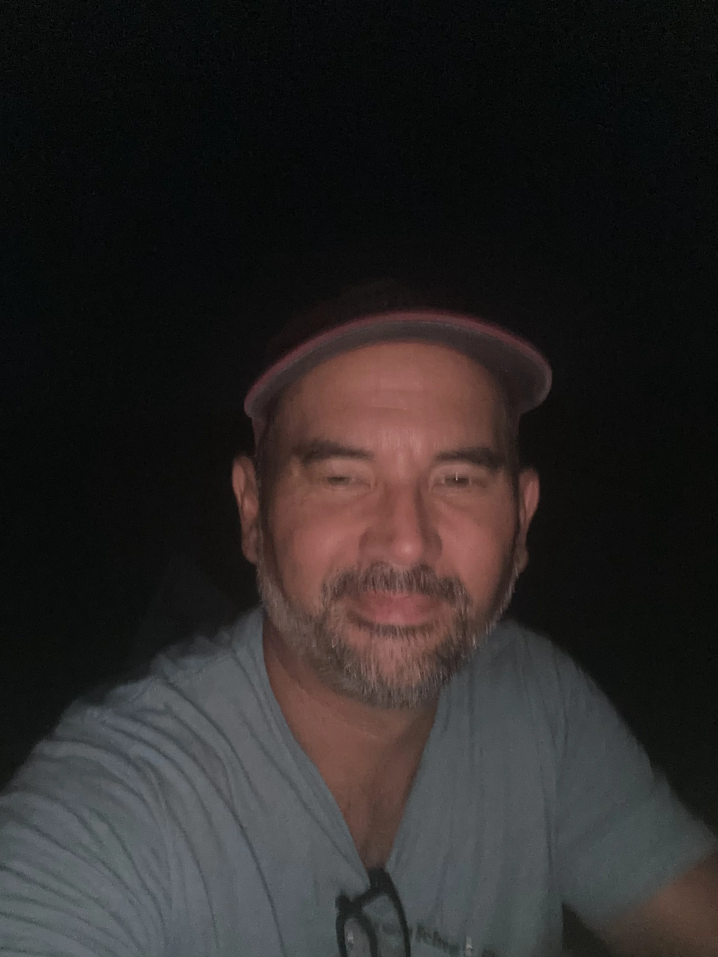
brett young of newnan, Georgia. Age 48
32 miles
8 hours 11 minutes
this is the overall fastest time on this route
Unsupported, Solo Male
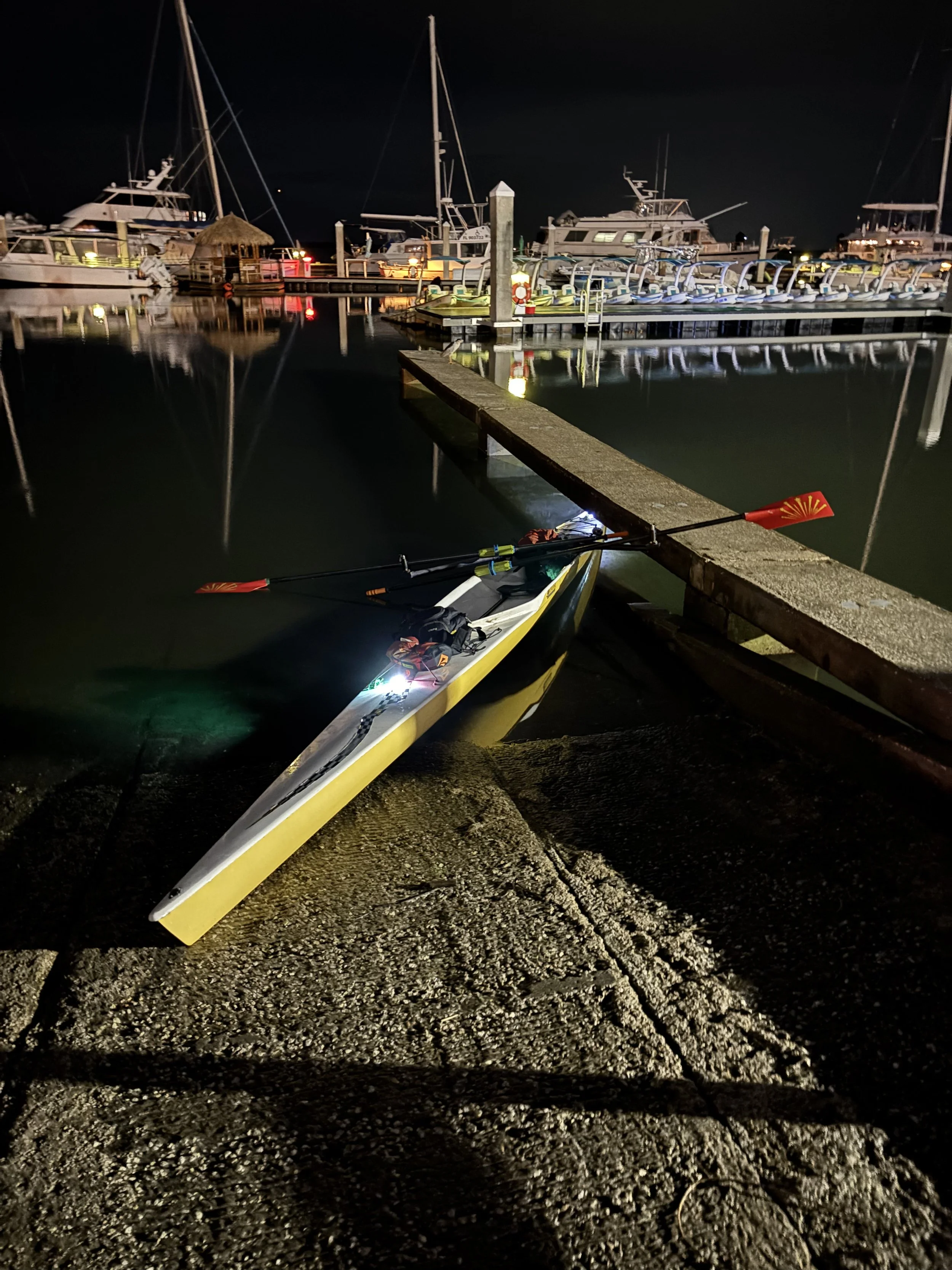
Start: Fernandina Beach Boat Ramp FL. August 27th, 2026 9:41PM Eastern
Finish: Fernandina Beach Boat Ramp FL. August 28th, 2026, 5:52AM Eastern
Support Crew: none
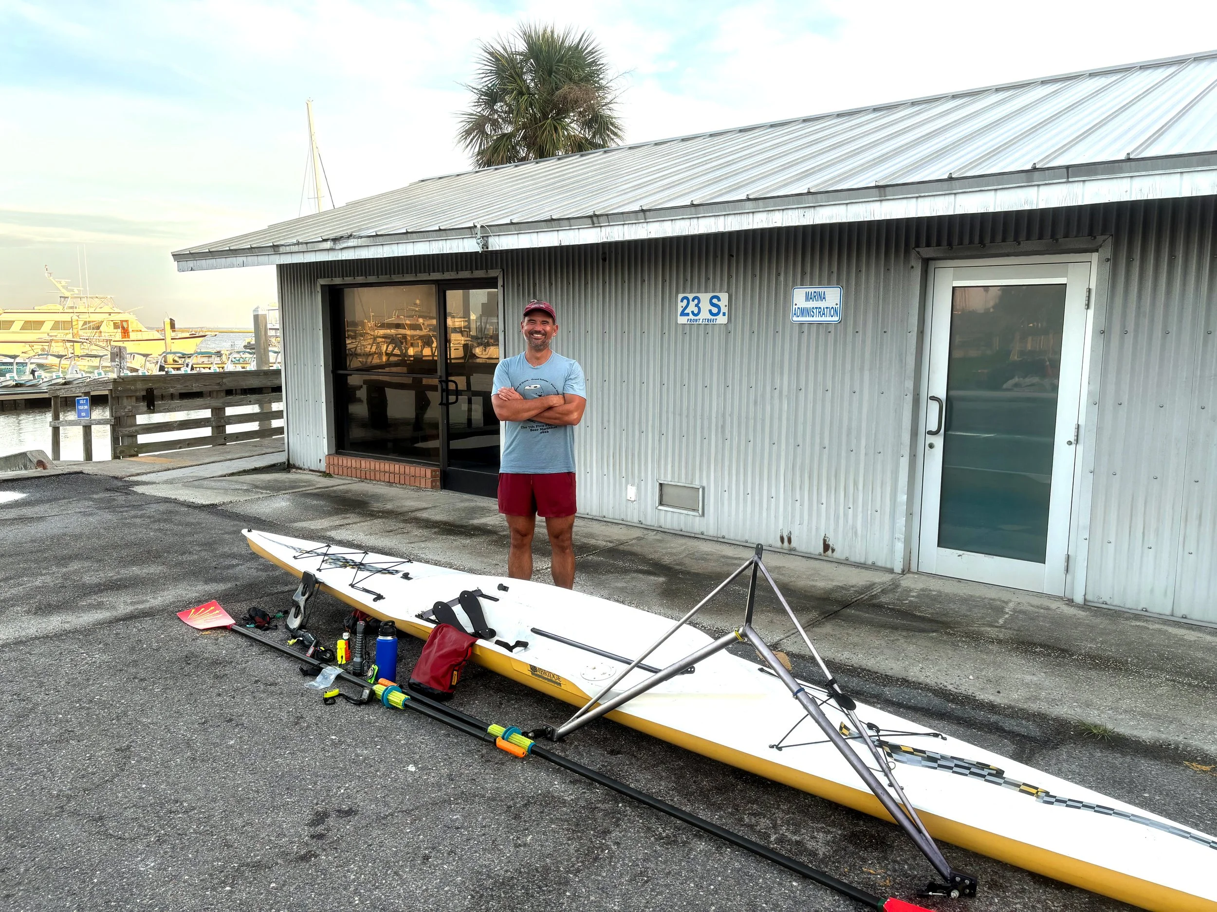
Boat: Boat: “Cambridge” by Little River Marine (rowing shell)
Route Description from Brett:
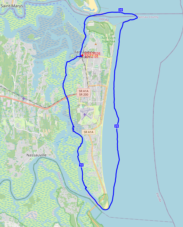
Amelia Island is on Florida’s northern Atlantic coast, directly adjacent to Jacksonville and the Georgia border. The route starts at the public boat ramp in Fernandina Beach, the historic downtown heart of Amelia Island, on the river side of the island . From there, you can go either clockwise or counterclockwise, with no structural advantages but significant tidal and weather considerations. The backside of the island is an estuarine river with a few minor routing options through the collection of islands and shallows. The ocean side is more straight-forward – follow the coastline past the resorts and beach cottages. The two sides are connected by the St Mary’s River in the north and Nassau Sound to the south. The entire route is influenced by tides, wind, and current. Nassau Sound is characterized by shifting shoals and shallow water. St. Mary’s Entrance is also used by nuclear submarines sailing from nearby Kings Bay Naval Submarine Base. Expect dolphins and sea turtles on the Atlantic side and possibly alligators on the Amelia River side.
About the Boat (from Brett)
The “Cambridge” model by Little River Marine has been in production for over 20 years and is marketed as a coastal rowing shell. The marketing, however, is a vestige from an earlier pre-racing era of coastal shells and the Cambridge bears little resemblance to a modern coastal boat. You’re probably familiar with long, skinny competitive rowing shells, used on calm rivers and lakes. Coastal rowing shells are designed for rough water rowing with waves and chop with bailers for removing water from the cockpit, a flared or cut stern for better downwind surfing, and bows designed for waves. The only coastal shell attribute the Cambridge carries is more stability than a typical flat-water boat – no bailer and roughly the same geometry as a calm water shell, but wider. My boat is 21 feet long, 25” at its widest, with Concept2 oars.
Trip Report from Brett:
What Went Well
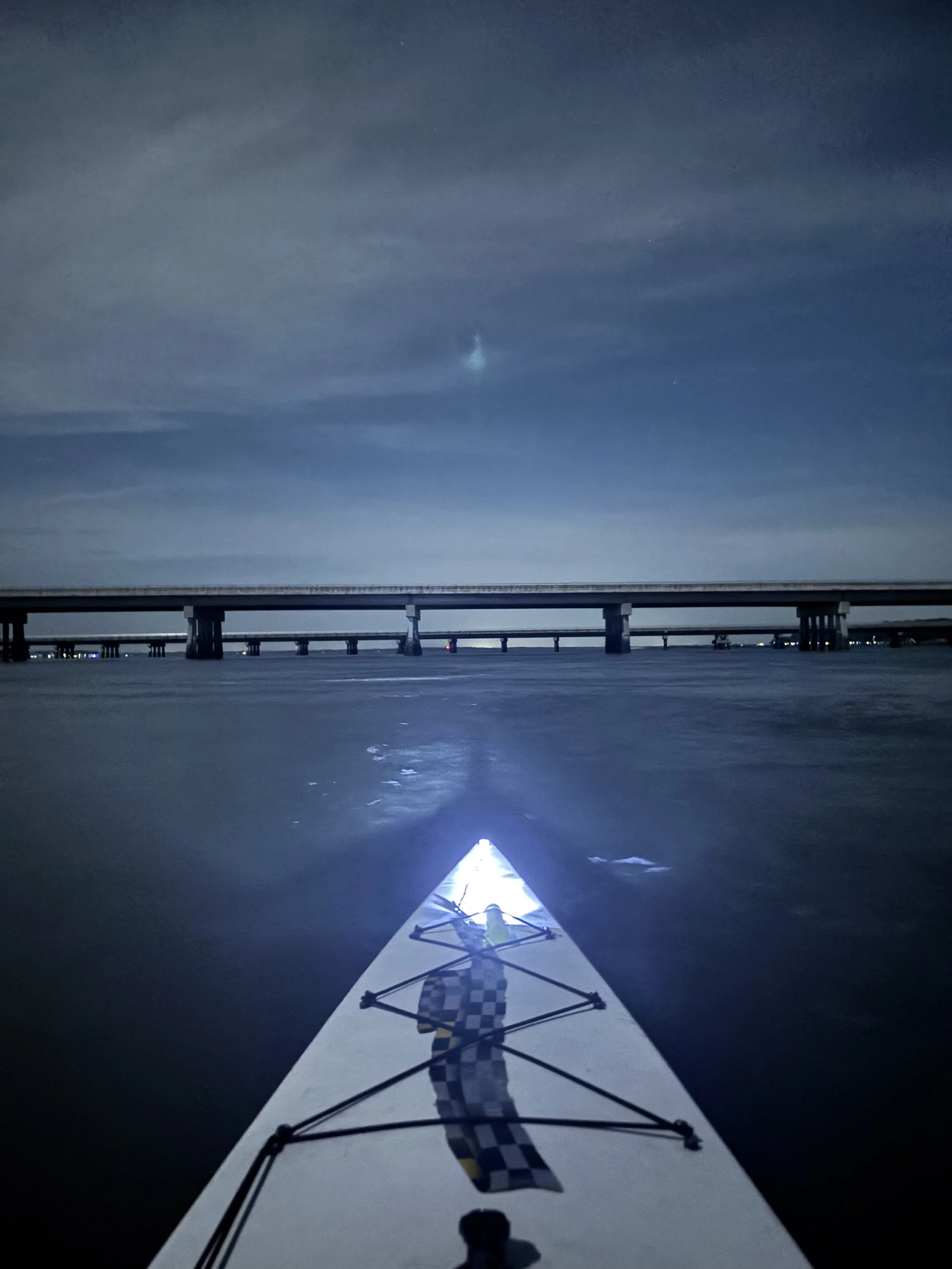
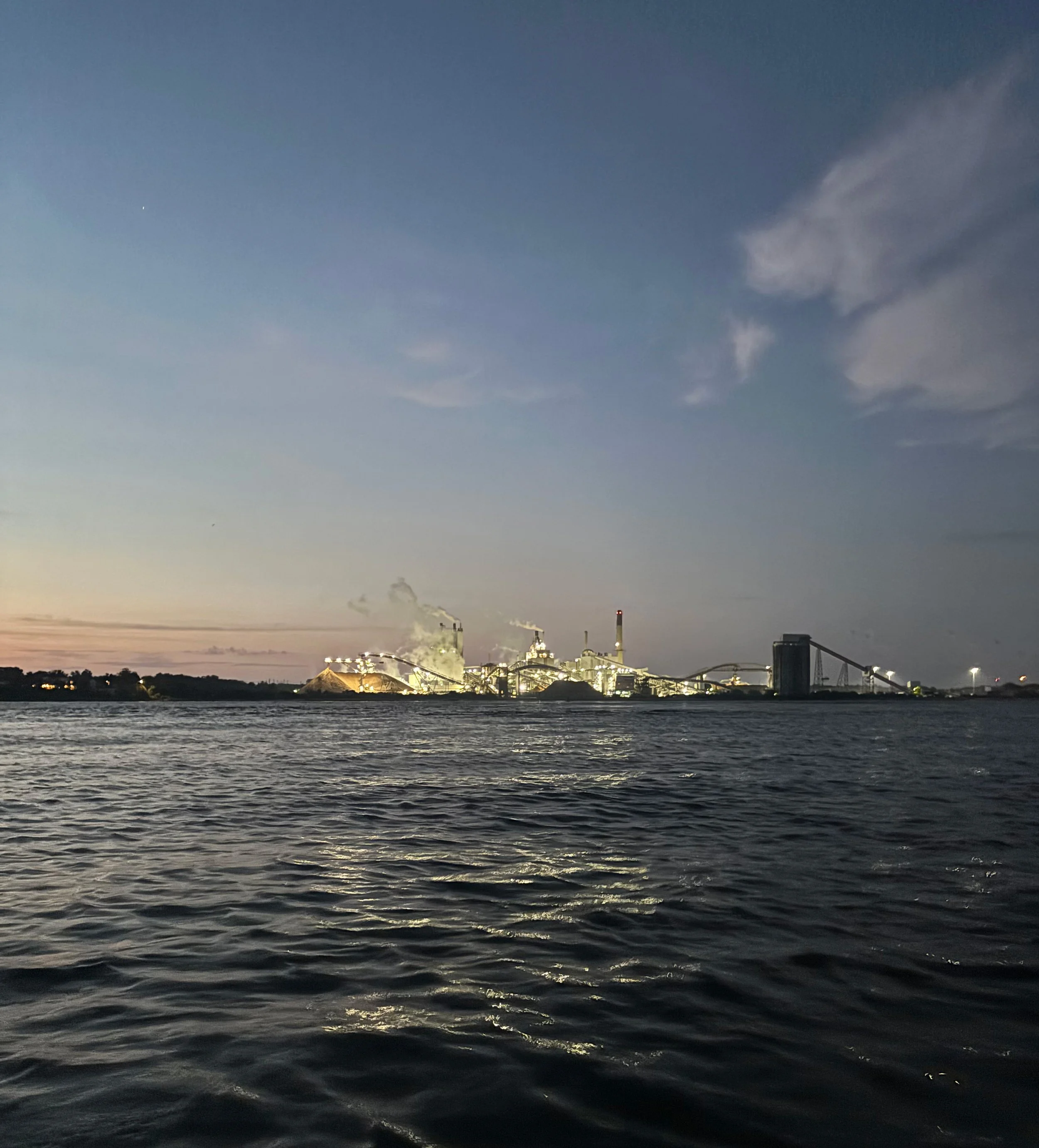
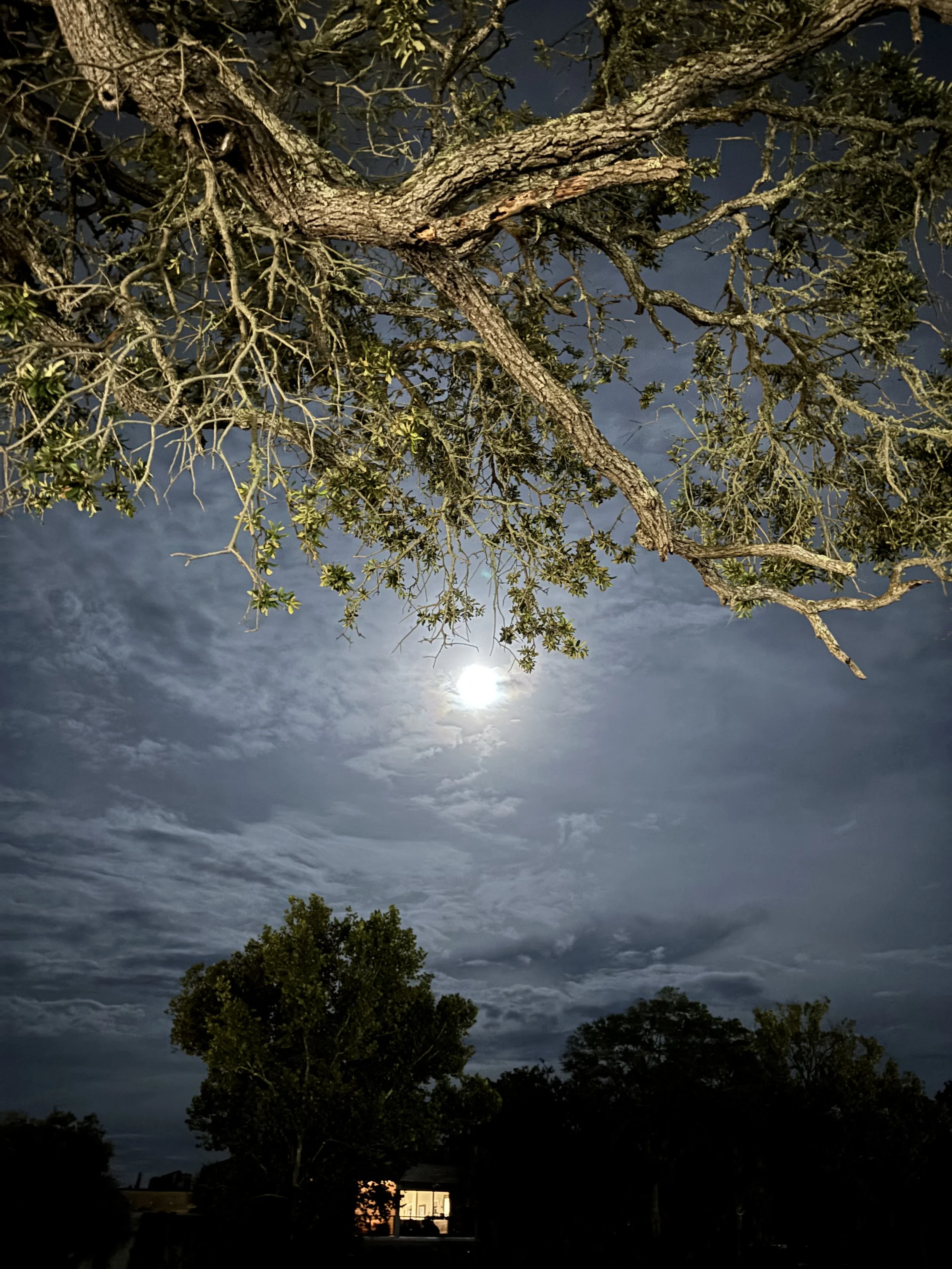
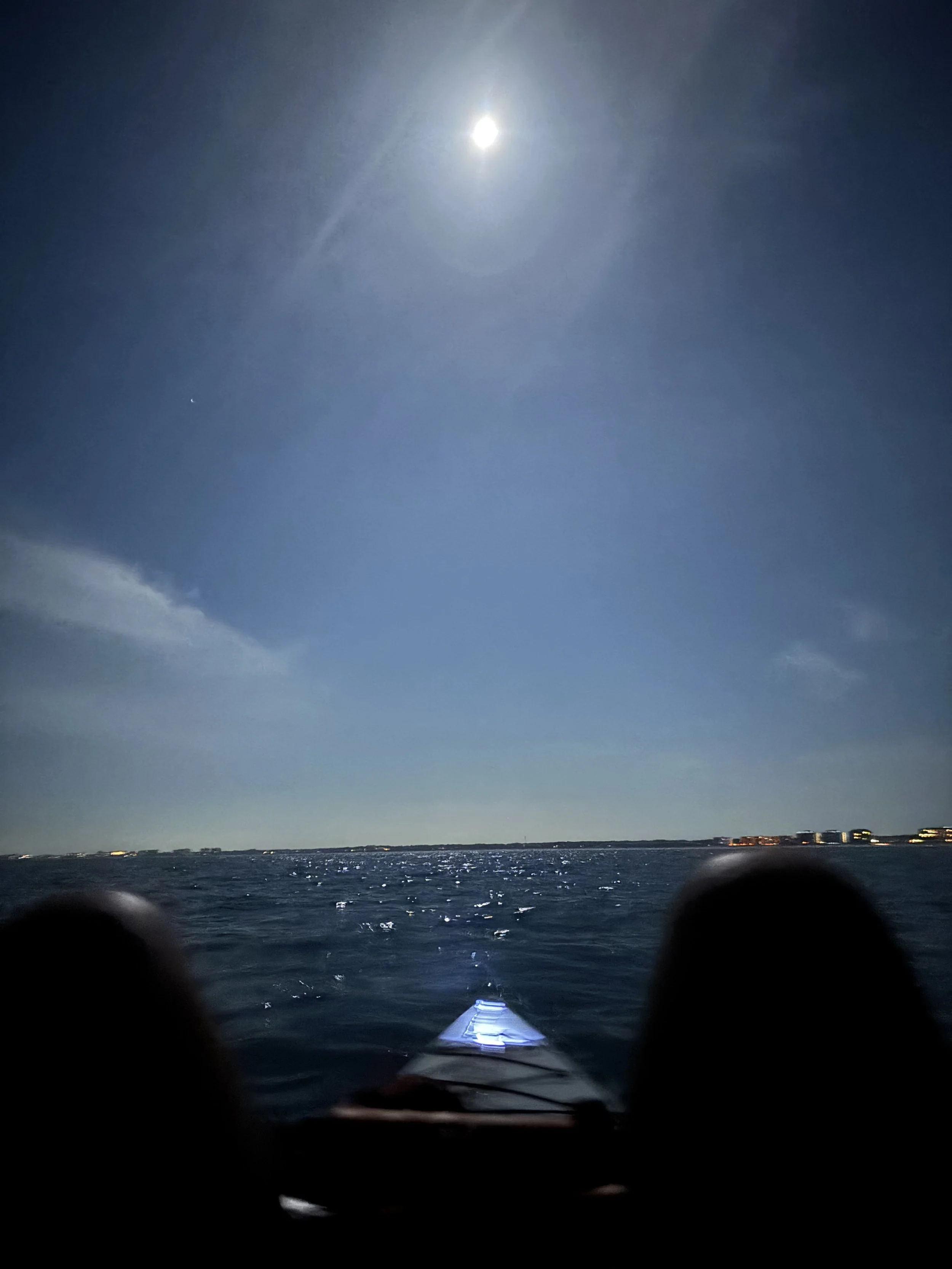
1. Tide, Wind Planning. Based on tide, wind, and weather, I decided to leave at night in the counterclockwise direction. Florida in late August is still hot with big afternoon thunderstorms, so I avoided them by going at night. I’ve done a fair amount of night paddling and there was a full moon. By leaving at high tide, the outgoing current gave me up to 2 knots of help getting through Nassau Sound and into the open ocean. A following wind on the ocean side pushed me for most of the night until it shifted westerly when I reached the St Mary’s River. I didn’t feel the incoming tide on the St Mary’s because of the headwind. Overall, tide and wind planning felt like it worked well.
2. Coastal Rowing. I hadn’t done any coastal rowing, but the forecast called for waves under 1 feet, so I figured I could handle it. The rolling waves were bigger than a foot and I had to think harder about my oars to keep them from stabbing the ocean on the return. By timing my strokes, I could kind of surf waves but couldn’t really ride them because of their small size and the low volume stern. Overall, the coastal experience was incredible – full moon, novice-friendly rolling waves, a tight focus on form and technique given new variables.
3. Boat & Hardware. I had no boat or hardware issues. I call that a win.
What Went Poorly
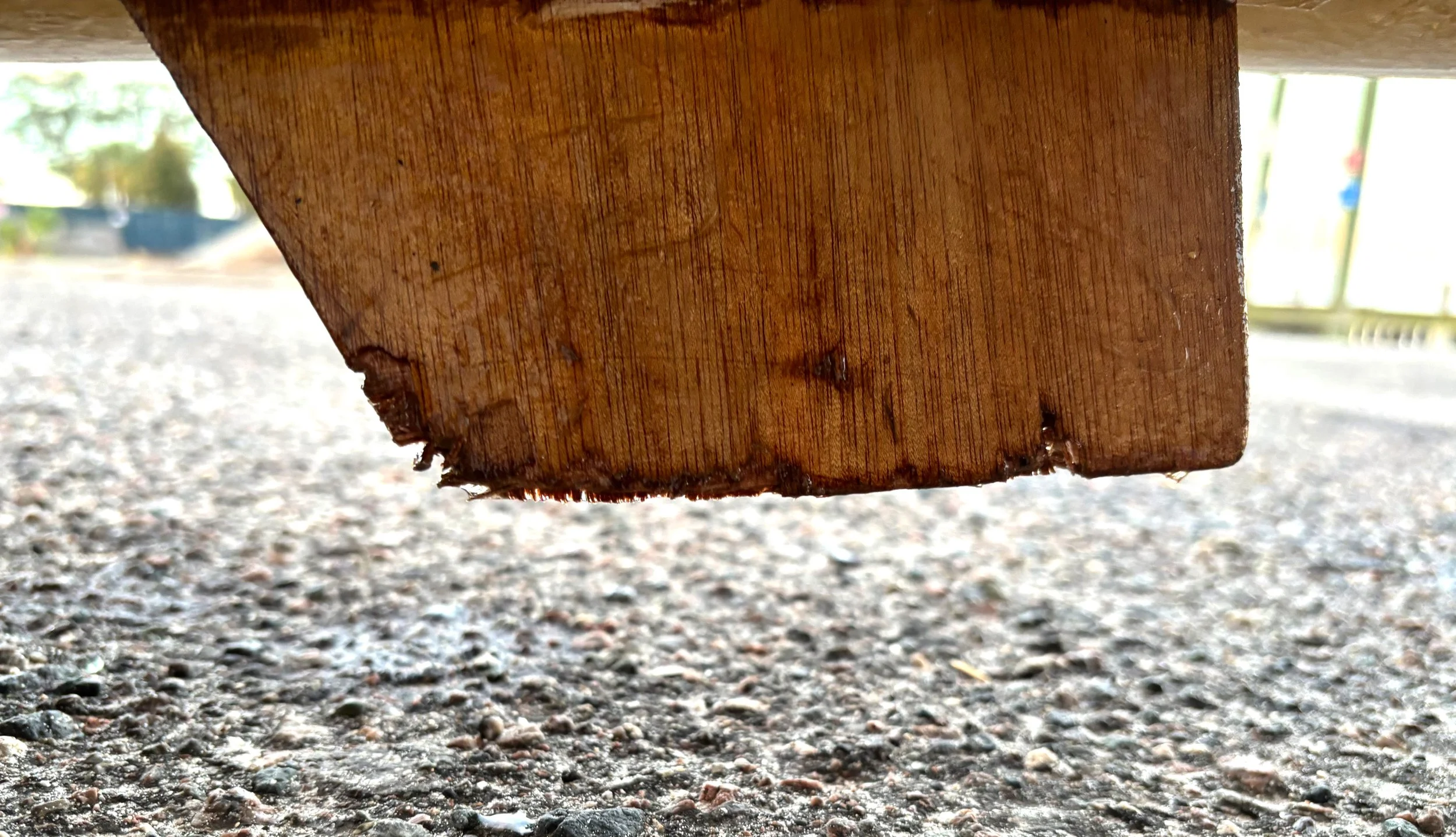
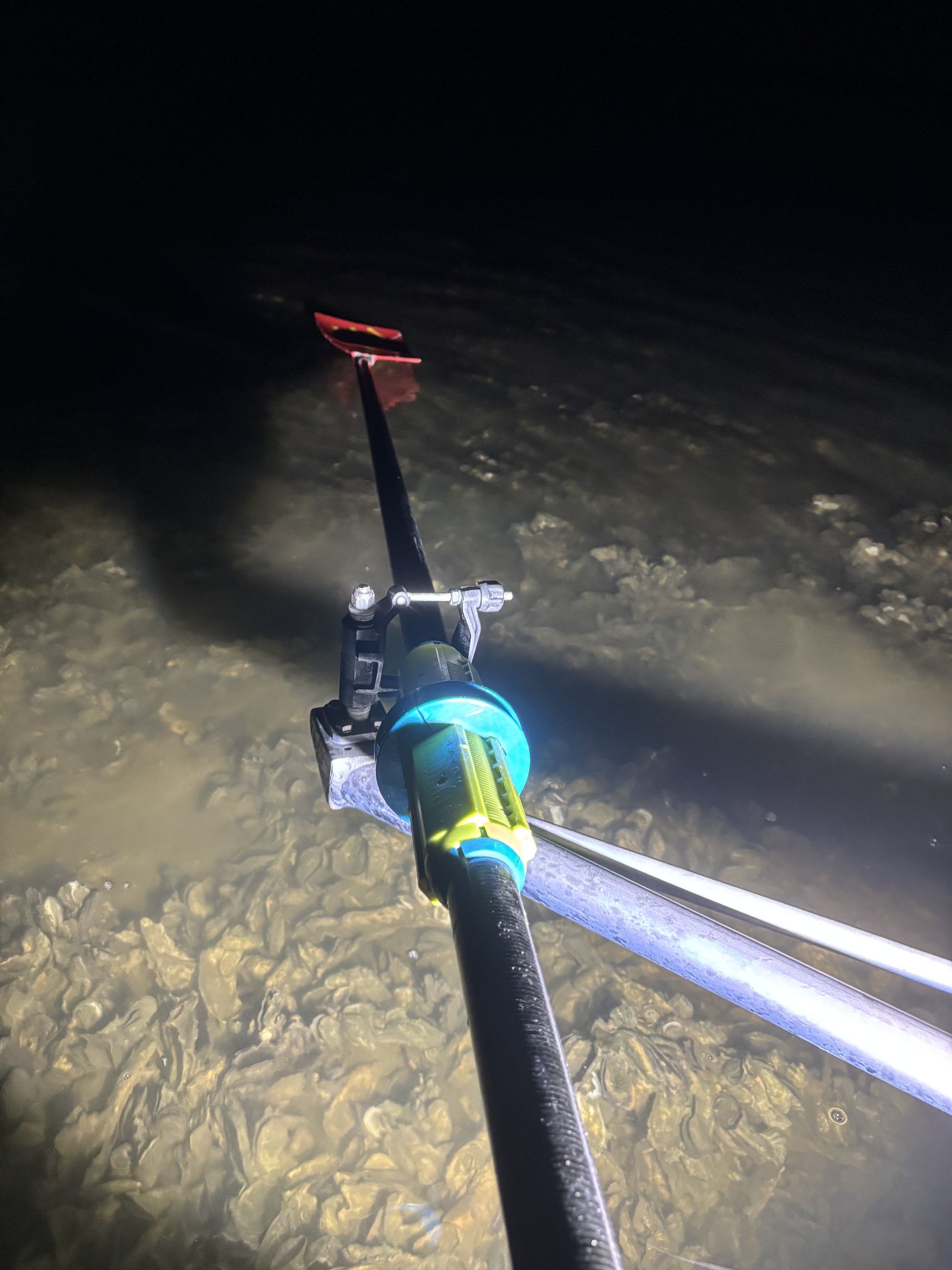
1. Navigation. My Garmin watch didn’t sync properly with the route so I ended up using my phone for navigation, which slowed me down some because I had to unpack the phone and bring up a map whenever I felt like I didn’t know where I was, primarily on the river side. In the second hour, I beached on a shoal of oysters because I was following Google Maps, rather than Garmin’s map which showed the shoals. Beaching damaged my fin, which I could feel pulling me to starboard – see photo.
2. Route Planning. It turns out that there’s a submerged quay that just out from the shoreline at the northern end of the ocean side at the St Mary’s River. From about a half mile away, I could see white breakers crashing on the visible and invisible concrete debris. I ended up following the quay out from the shore for over a mile because I figured trying to get through gaps at night was a sure way to have a terrible evening.
Results
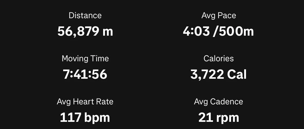
My final time was 8 hours, 10 minutes over a distance (with my detour for the submerged quay) of 35.34 miles. I first started rowing in July after transitioning from stand up paddleboarding, so I consider this to be a solid effort. I held my fastest time rowing at distance in this type of shell, averaging 4 MPH over the course with consistent splits between 3:00 to 3:30 per 500 meters (the standard way of measuring pace for rowers). Fixing my navigation issues will net improvements, as will more training. Maybe I’ll look around for a faster, modern coastal scull - I’m hooked on this flavor of adventure.