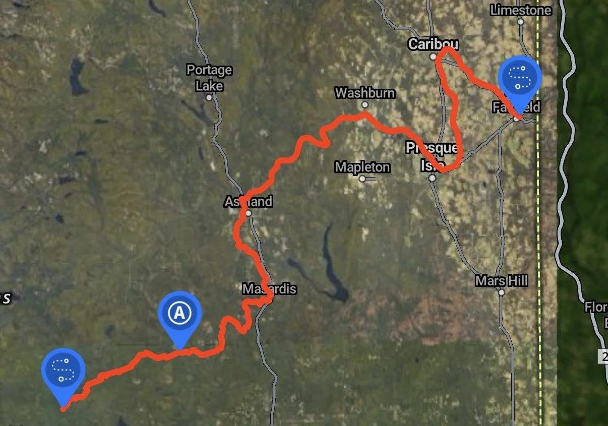
aroostook river, ME Overall FKP Details
Aroostook River Overall Fastest Known Paddle: TBD
112 miles
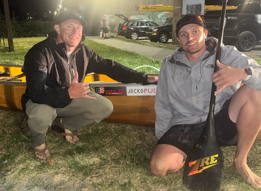
Dan Swallow and Jordyn Merritt will be attempting to establish an FKP on this route launching sometime in the 1st half of May 2026.
Start: Start of river at confluence of Millinocket Stream and the Munsungan River; Moosehorn Crossing, North Penobscot, ME
Finish: U.S./Canadian border, just upstream from the Tinker Dam.
Follow along on Instagram and YouTube
Route Description from Dan Swallow:
The Aroostook River spans 112 miles, starting in the remote woods of Northern Maine a the confluence of the Munsungan and Millinocket River. The first 1/3 of this route is remote wilderness. The locally famed Oxbow is part of this section of river. The next 2/3 of the route pass through the areas major towns and is also called the Aroostook River Triangle, where the river borders the main towns (Washburn, Presque Isle, Caribou, and Fort Fairfield. The roue end at the Canadian border before Tinker Dam. The river is a relatively flat with some class I/II rips with many islands to navigate around. High water flows are typically seen in April/May with low water levels in the later summer dependent on rainfall.