hooper’s island circumnavigation, MD Overall FKP Details


Hooper’s Island Maryland Circumnavigation Overall Fastest Known Paddle: 4H, 7M, 43S
(this is also the 1st solo male FKP)
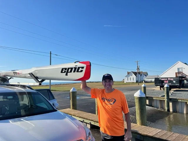
Darren Crozier, age 57, Spring City, MD
October 28, 2023
22.6 miles
Unsupported
Start: Hoopersville Boat Ramp. 12:00pm, October 28th.
Finish: Hoopersville Boat Ramp. 4:07pm, October 28th.
GPS Tracking: Garmin Forerunner 310XT
Boat: Epic V8 Pro Surfski kayak
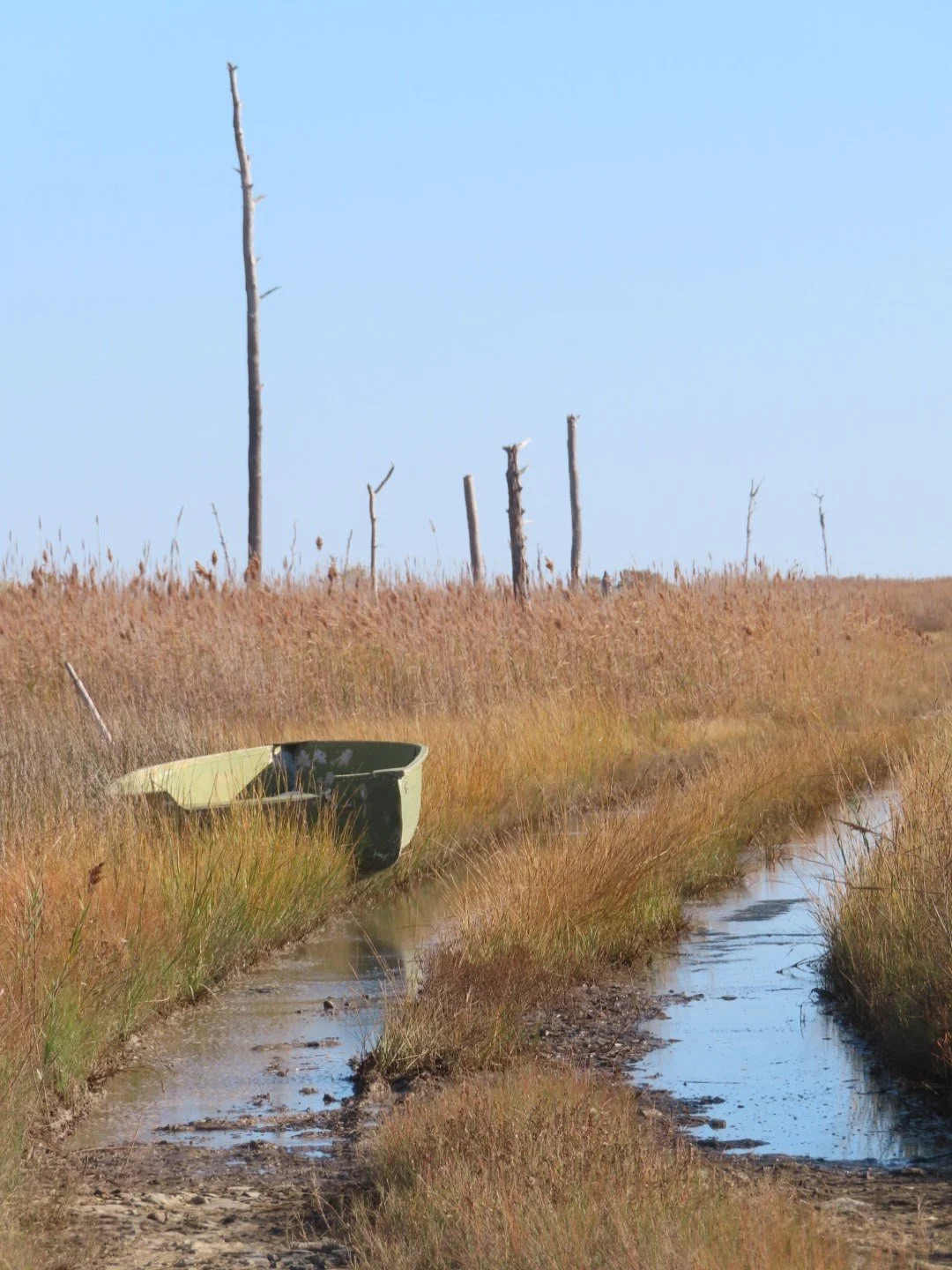
Route Description from Darren: Hoopers Island, Maryland is a fishing community on the Maryland eastern shore that is a throw back in time. Generations of families have taken to the water to make a living through fishing, crabbing and oystering. You embed yourself in that history by paddling around the island. The start/finish is at a public boat launch mid-island. The water type varies from the open Chesapeake Bay on the west side to an enclosed river on the east side. Side chop and wind on the Bay side can be a challenge. Timing the Bay's tides is also part of the challenge.
About Darren: “I'm an Epic Kayak and Surfski brand ambassador based in the Philadelphia and Maryland eastern shore area. I've participated in races up and down the east coast as well as the Canadian Surfski Championship and the Gorge events. My home paddling water is the Chesapeake Bay and Marsh Creek State Park Lake."
Trip Report from Darren Crozier: Starting from the Hoopersville Public Boat Ramp, I headed south along the east side of the island in the Honga River. Nature-abounds. The southern end of the island is marsh land with no structures other than a few hunting blinds. As you reach the southern point of the island you can look south for as far as the eye can see down the length of the Chesapeake Bay. If you could see far enough you would see Norfolk, VA. As you round the southern end you also start to get exposed to the unappreciated open waters of the Chesapeake Bay. Having chosen the perfect day for the paddle, it was flat and I went up the western coast of the island enjoying bald eagles and riding the incoming tide. Most of the residents reside on the western side of the island so you get a glimpse into what life has been like for generations of residents working to make a living on the Chesapeake Bay. Not an easy, or very profitable, way of life.
Reaching the northern tip of the island you paddle under the bridge that connects Hoopers Island to the rest of the world. I planned to reach this point at slack tide, but my pace got me there ahead of schedule, so as I turned under bridge and headed southbound again, I was still dealing with the incoming tide. That tide, plus the accumulating miles, lead to a slow last 5 miles back to the launch point. Reaching the start/finish, I met my concerned wife who had tried to follow my progress through nonexistent cell service. A beautiful paddle on the right day. The goal this day was more about completing the circumnavigation, not an all-out speed attempt. I look forward to paddling the island's waters again with a little more urgency in 2026.